GIS & Remote Sensing
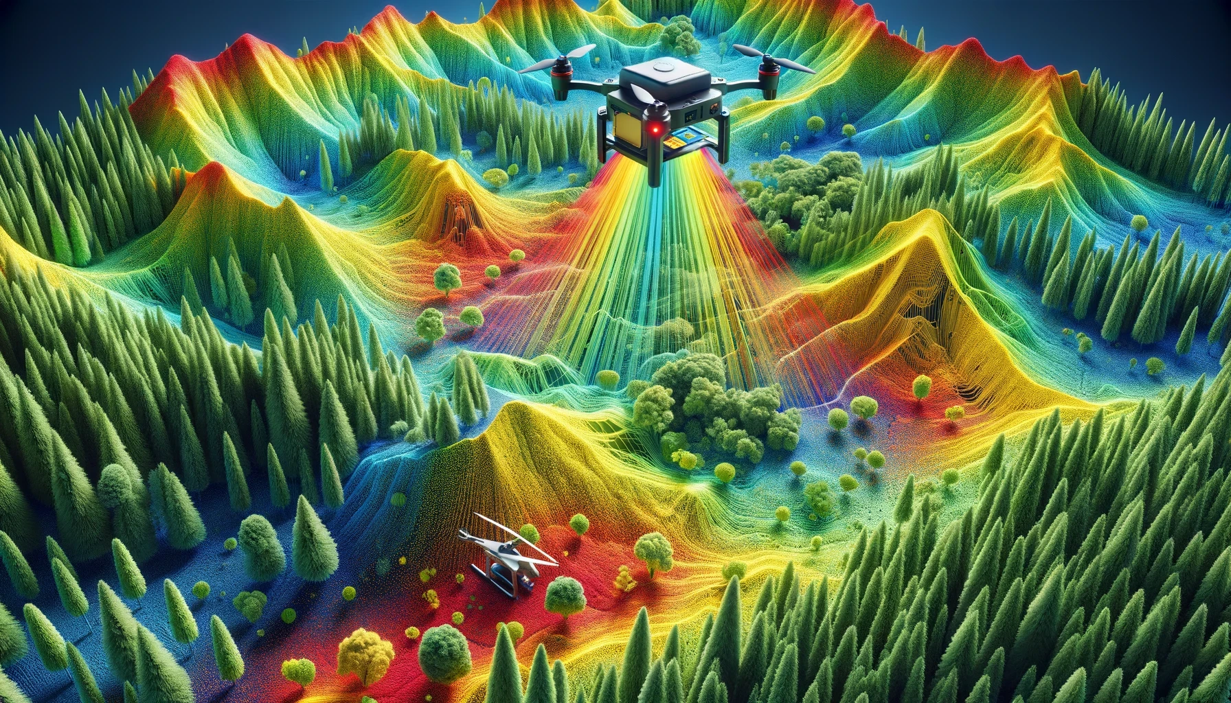
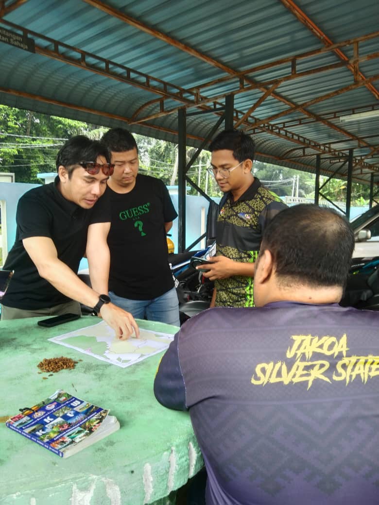
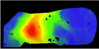
At Layang Kaji Sdn Bhd, we leverage advanced GIS (Geographic Information Systems) and LiDAR (Light Detection and Ranging) technology to enhance our forest management operations. These tools allow us to precisely monitor forest boundaries, plan operational activities, and minimize environmental disruption during logging and reforestation efforts.
Key Applications of GIS and LiDAR:
Forest Conservation
Innovative Forest Conservation Efforts
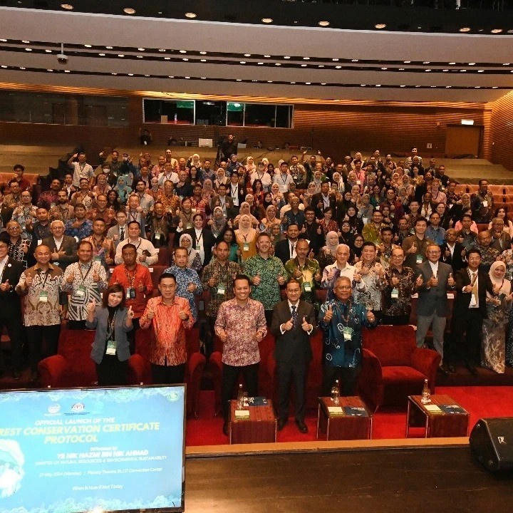
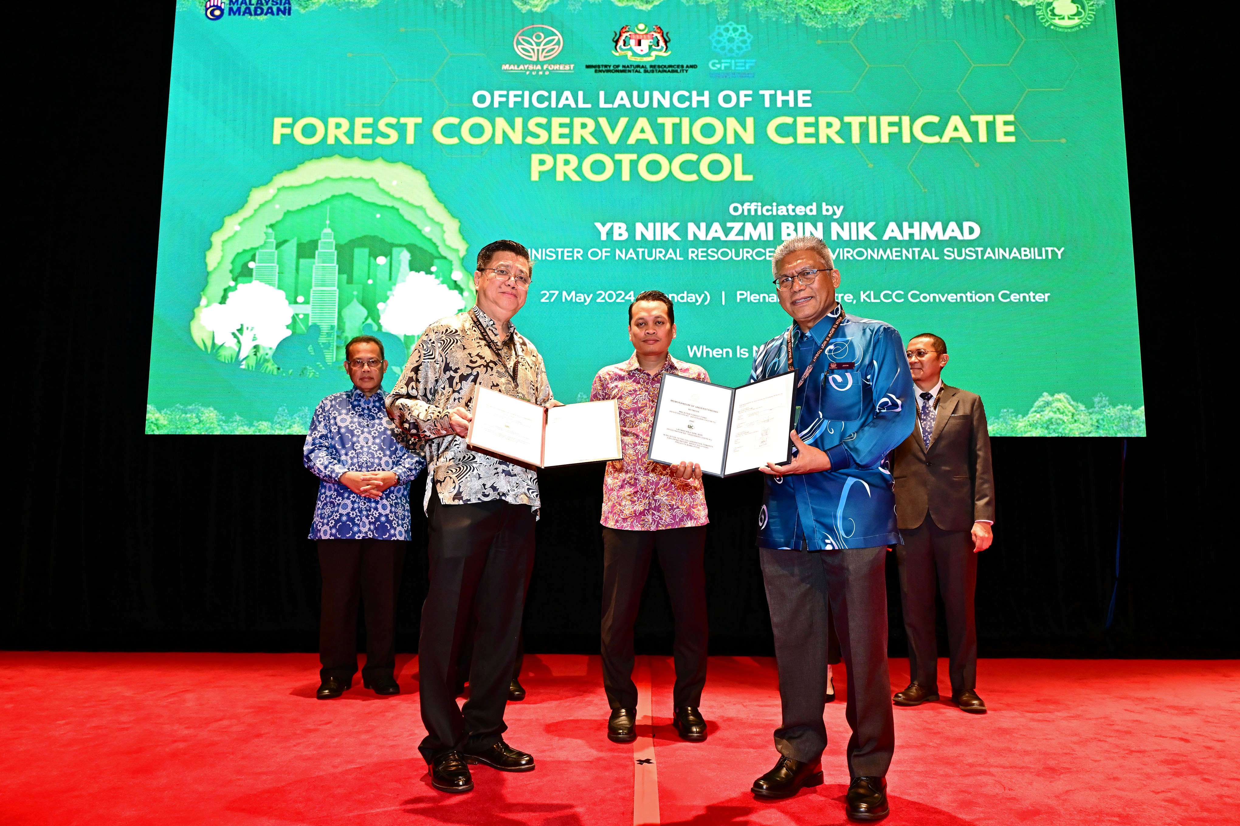
Layang Kaji actively supports sustainable forest management through initiatives like the Forest Conservation Certificate (FCC), which encourages private-sector contributions to biodiversity and conservation.
Main services
Comprehensive Sustainable Forest Management Practices
At Layang Kaji, we offer a full suite of sustainable forest management practices, ensuring that every project adheres to the highest environmental and ethical standards. Our expertise covers all aspects of forestry, from reforestation and timber management to advanced technology solutions like GIS mapping. Each service is designed to protect biodiversity while promoting responsible forest utilization.
Reforestation Initiatives
Forest Worker Compensation & Safety
Environmental & Social Impact Assessments
GIS & LiDAR Technology Solutions
